Monitoring with RPAS
RPAS Monitoring Service
The objective is to provide reliable support during inspections, testing activities, surveys related to structural failures, damage, cracks, gas leaks, leakage detection, creation of 3D topographic models, and environmental monitoring and control activities.
Excellence in Technology
The drones selected by GIS to deliver its services represent the best solutions currently available on the market.
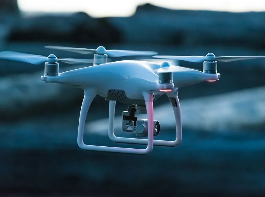
Professional DJI Drones
These include DJI MATRICE and PHANTOM models, manufactured by the global market leader, fully ENAC certified, highly reliable and robust, with technical features that make them ideal for industrial applications.
ENAC Certified Pilots
GIS employs four ENAC certified RPAS pilots, enabling the company to deliver its services in a scalable and simultaneous manner across multiple clients and locations.
Fields of Application
Burner inspections
Flare inspections
Structural pillar inspections
Monitoring of landfills and river topography
Coastline and pier mapping and surveillance
Orthophotos for cartography, georeferencing, and 3D modeling
Data acquisition from thermal cameras and laser scanners
Thermographic surveys of pipelines, ducts, towers, and chimneys
High definition video and image acquisition
Service Advantages
- Reduction of time and costs
- Ability to inspect sites that are hazardous for personnel
- No infrastructure required for operations
- No need to shut down the plant
- Fast, flexible, and repeatable operations
- Enhanced monitoring of infrastructure conditions
- Ability to make strategic decisions without shutting down the plant
Rope Access Maintenance

Some phases and activities that can be carried out:
- Painting of flanged connections at height
- Painting of structural elements or walls at height
- Safety securing of equipment and structures at height
- Work at height inspections on the condition of equipment and structures
- Support to third party technicians during maintenance activities at height